Climate change is creating a longer growing season, which means more farmers might be able to grow multiple crops in the span of one growing season, or “double crop”. This could lead to increased agricultural productivity, but could also strain water resources. However, not much is currently known about double-cropping in Washington State.
Kirti Rajagopalan, assistant professor in the College of Agricultural, Human, and Natural Resources, along with Hossein Noorazar, Mingliang Liu, and Mike Brady, analyzed satellite imagery to quantify the extent of double cropping in Washington with the help of a seed grant from the State of Washington Water Research Center in collaboration with Perry Beale from the Washington State Department of Agriculture. There is no current database of double cropping. This project supports the development of a baseline assessment for double cropping that helps us learn about current practices, but can also be used along with future or past data to assess how double cropping practices are changing.
“A larger frost free season is a key factor that allows you to double crop,” Rajagopalan said. “It’s possible that more growers could double crop in the future. If that happens, in terms of water resources, it means that you might need water at times that you don’t currently need water now.”
Rajagopalan and her team created an automated model that measures double cropping. When looking at satellite imaging, at the beginning of a season, a field is brown and barren because there are no crops planted in it. After the crops are planted, the field is green, and then when it is harvested it turns brown again. When a field is double cropped, we will see two cycles of this greening and and browning.
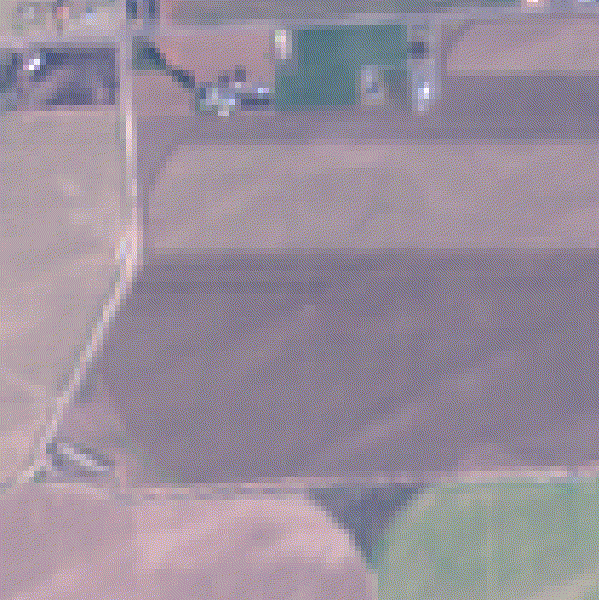
By looking for two peaks and two troughs of “greenness”, the researchers can identify double cropping events and train an automated system to measure the double-cropping extent. However, weeds and cover crops can interfere with the satellite measurements as they can visually “mimic” crops. Hay crops can also confuse the system, as they are harvested multiple times in a year.
Currently, the researchers have wrapped up the first version of a working algorithm and performed initial evaluations. “We know that we are able to use satellite imagery for this work,” Rajagopalan said. “And, we know what things can create complications, and we have ideas to fix them.”
The researchers have received funding from NASA’s Western Water Resources Applications program to continue this work. The follow-up grant will push the algorithm developed as part of the seed grant into an automated operational system integrated into WSDA’s databases. It will also analyze double-cropping in Washington over the past 20 years to get a trend of how cropping patterns have changed over time.
Although the research just measured double-cropping, the research has implications beyond just multiple crops being planted in a growing season and can be generalized to a variety of agricultural topics.
“This project really allowed us to understand how satellite imagery can be utilized to automate the mapping of different agricultural characteristics,” Rajagopalan said. “So yes, this was focused on double cropping but what we learned is something we are easily able to expand to other situations too: for example, mapping conservation tillage practices.”
Preliminary analysis by the researchers estimates that double cropped fields need about one and half times the water used by a single crop, spread over a longer time frame, which would have implications for water resources management. Understanding the nuances of this aspect of water use is a key next step.
Author: Erin Mullins, WSU Undergraduate Intern, and Jordan Jobe