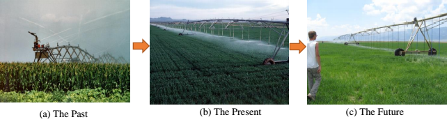
Irrigation of agricultural crops is by far the largest use of water in the arid West. Amidst rapidly changing climatic conditions, water has become a valuable resource for use in diverse agricultural cropping systems in Washington State. Thus, growers need to adopt new/improved irrigation technologies, like Low Elevation Spray/Precision Application (LESA/LEPA) for improved and efficient water use. Such techniques have been practiced successfully for years in the Texas Panhandle and Kansas areas; however, have grower adoption concerns in Pacific Northwest. Key criticisms is that the real efficiency differences between LESA and Mid Elevation Spray Application (MESA) are overestimated since the water that is lost to wind drift and evaporation from MESA suppresses crop water use requirements downwind. To help quantify these differences, it is important to measure canopy temperature differences of similar crops. These data would help show where the additional energy is either lost or gained from evaporated water. Therefore, this project focuses on evaluating LESA and compare it with performance of MESA using small unmanned aerial system (UAS) integrated multispectral and thermal imaging. Our 2016 preliminary trials in potato had shown promising results. Small UAS based imagery was acquired during mid-growth stage and developed were the zonal maps. Lower potato crop vigor (Green NDVI of 0.14±0.03) was observed for MESA compared to LESA (0.30±0.03). Similarly, canopies were ~2°C cooler when irrigated with LESA compared to MESA. On-going 2017 season experiments will critically assess LESA and MESA using small UAS based remote sensing approach and utilize such data in effective extension/outreach of pertinent outcomes.
For more information click here
Organizations
People
Activities and Products
- Assessment of crop growth under modified center pivot irrigation systems using small unmanned aerial system-based imaging techniques
- Economical thermal-RGB imaging system for monitoring agricultural crops
- Assessing suitability of modified center pivot irrigation systems in corn production using low altitude aerial imaging techniques
- Low orbiting satellite and small UAS based high resolution imagery data to quantify crop lodging